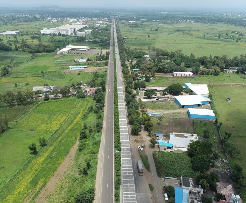
Road Survey
India has more than 1,15,435 km national highways. Due to increased traffic on road. The government set across an ambitious target of building 15,000 kms of roads in 2016-17, but due to traditional methods used for construction and monitoring, only 8,200 kms of roads were built. Indian Prime Minister suggested using drones to monitor the construction and fasten up the construction process as well as maintain transparency.
Road Construction Monitoring using Aeromat Drones are more effective construction and maintenance of infrastructure projects including road and bridges are allowed by Geospatial products. Since effective inspection is effects directly the transportation network and safety of public so fast identification of fundamental weaknesses is crucial. An advance tool for monitoring roads and bridges are provided by Invent Grids platform. Highway Corridor Mapping Makes easy for: -Road defect detection such as potholes and cracks, Alignment of Divider, Over line structures, Boundaries, Electric lines for Street Lights, Expansion of roads, Power lines crossings.
Highlights
- Simplify topographic surveys for land management & planning
- Detailed models of site topography
- Highly accurate distance and surface measurements
- Condition Monitoring of Bridge powered by AI
- Thermal Imagery to provide meaningful insights
- Higher speed and accuracy than conventional inspection methods
- Relatively less time & lower costs as compared to conventional methods